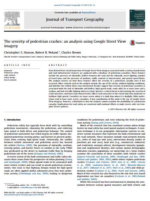
Data derived from visual inspection of Google Street View imagery associated with a variety of pedestrian and road infrastructure features are analyzed with a database of pedestrian casualties.


Data derived from visual inspection of Google Street View imagery associated with a variety of pedestrian and road infrastructure features are analyzed with a database of pedestrian casualties.

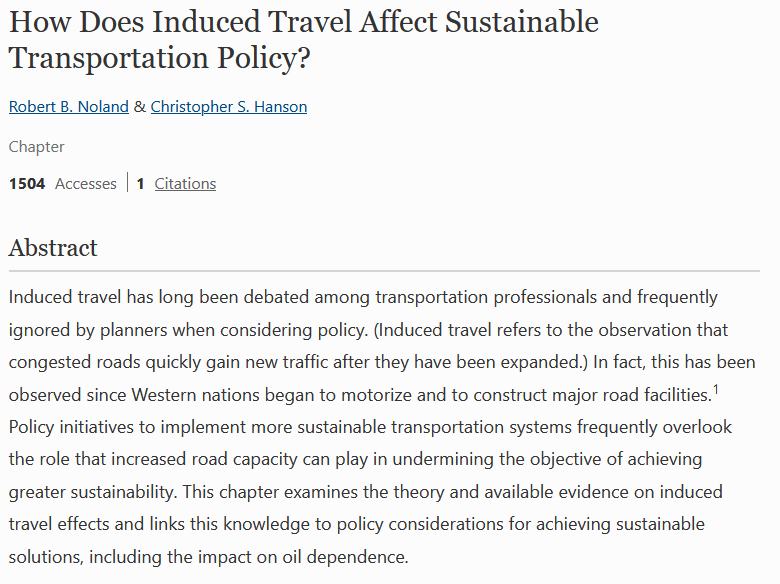
This chapter examines the theory and available evidence on induced travel effects and links this knowledge to policy considerations for achieving sustainable solutions, including the impact on oil dependence.
Since its creation in 1979, NJ TRANSIT has grown into the geographically largest public transit system in the United States. Over more than four decades, the agency’s financial structure has shifted in response to changing state and federal priorities—shaping service...
Objective While fatal crashes are available through the Fatality Analysis Reporting System (FARS) and are readily available to the public, many states do not make their crash data easily accessible for the public and the research community. The public has an interest...
Through this research, NJ TRANSIT sought to understand how women and members of the lesbian, gay, bisexual, transgender, queer plus community, sometimes referred to as sexual and gender minorities (SGMs) travel on NJ TRANSIT so the agency can provide better...
Recent advances in biometric sensing technologies, such as eye tracking, heart rate trackers, and galvanic skin response (GSR) sensors, offer new opportunities to measure pedestrian stress level and their travel experiences in real-time. Uncertainty remains about...