Principal Investigator: Jon Carnegie
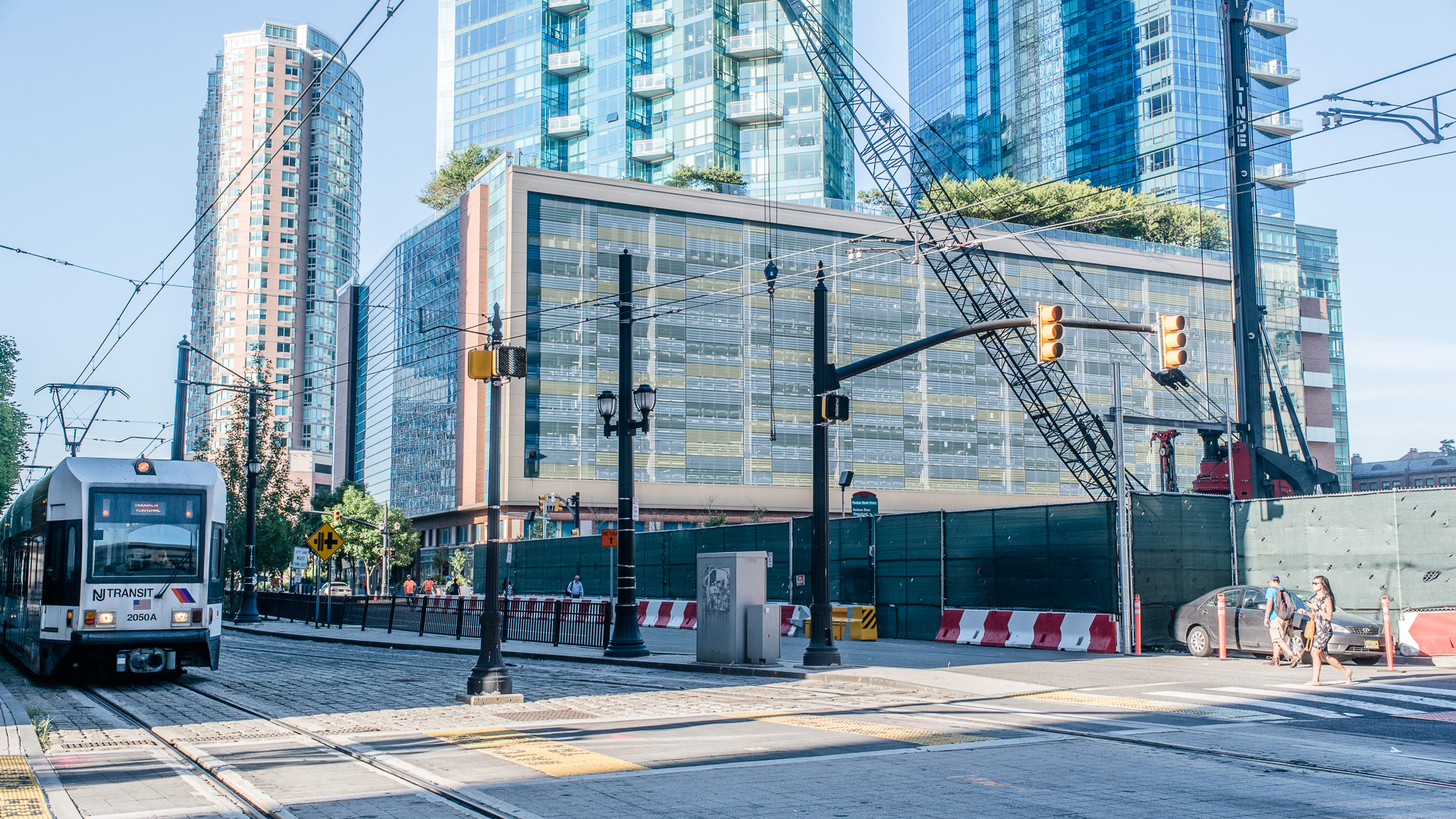
The New Jersey Transit Friendly Data Application (transitfriendlydata.org) is a GIS-based land use and transit planning web-application created for NJ TRANSIT by a team of researchers at Rutgers University’s Voorhees Transportation Center (RU-VTC) and Office of Research Analytics (RU-ORA). The data application allows users to map, report, and export data for different geographic areas such as county, municipality, transit station area, as well as other user-defined study areas. The application also provides access to a range of data, including: population, employment and other demographic data; land use and environmental data; real estate valuation data; and data on transit lines, stops, stations. The application also includes a database of local development information compiled from municipal planning and zoning board records for approximately 30 municipalities in Hudson, Passaic, and Essex Counties. This local planning and zoning board data is not available from any other source. Version 2.0 of the data application, which included a redesigned user interface, a variety of data updates and functionality improvements, and the addition of several “planning tools” was made public in January 2022. This contract supports continued work with the Rutgers data application design team to maintain the data application software and server as well as to further expand and enhance the functionality of the data application. As part of this contract, RU-VTC will collect municipal planning and zoning board data from each of New Jersey’s Transit Village. These data will be added to the application on a rolling basis.
